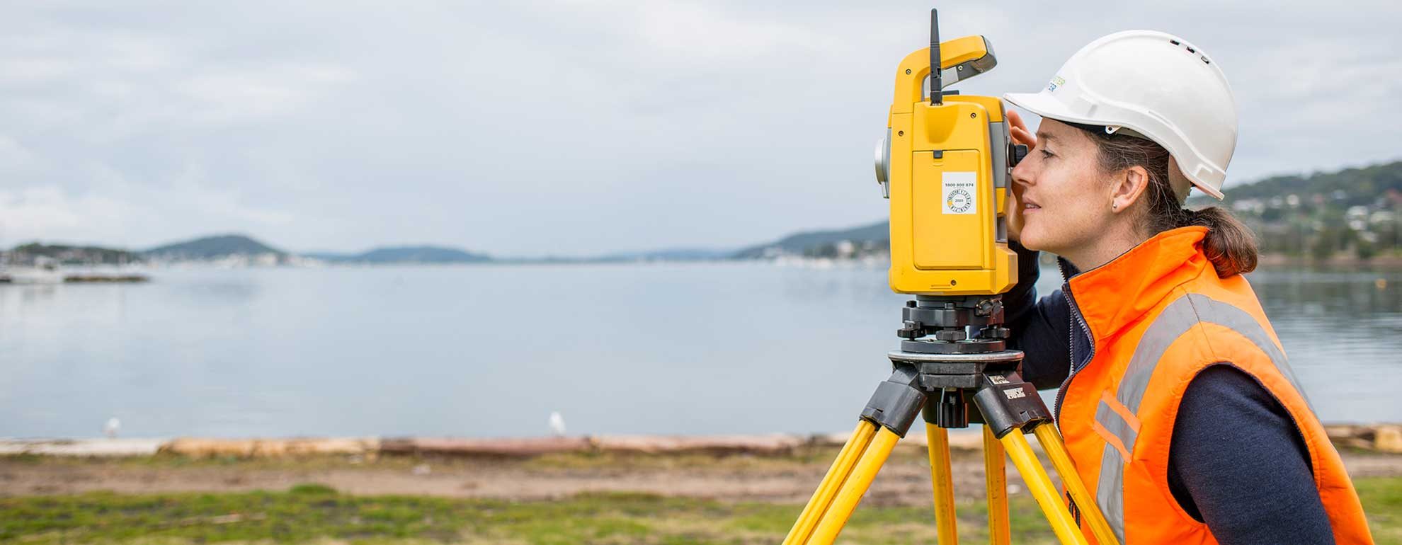
Bannister & Hunter’s team of experienced Registered Surveyors performs a full range of surveying services employing the latest GPS, UAV, 3D scanning, LIDAR and data analysis technologies to deliver the most cost-effective and accurate survey outcomes possible.
These services include:
- Construction setouts - for positioning structures and services on residential, commercial and land development sites.
- Boundary definition surveys - for accurately defining property boundaries for fence location, checking boundary clearances and investigating encroachments.
- Identification surveys - for property purchase purposes.
- Detail, contour and topographic surveys - for use in architectural, land development and civil infrastructure engineering design.
- Jetty surveys - for satisfying various government authority requirements.
- Deformation surveys - for establishing rate of movement and stability of structures.
- Utility location and mapping - for use in design of development works, underground structures and services routes.
- Dilapidation surveys - for recording infrastructure condition prior to commencement of new works.
- Leasehold surveys - to provide data for building lease purposes.
- Work-As-Executed and conformance surveys - for recording as-constructed details to satisfy authority and quality assurance systems requirements.
Sectors
The diverse range of industry sectors covered by Bannister & Hunter’s surveying services includes:
- Residential - clients include architects, licensed builders, owner builders and property purchasers.
- Commercial - clients include architects, engineer designers and commercial builders.
- Industrial - clients include engineering designers and industrial builders.
- Land development - clients include property developers, town planners and engineering designers.
- Government infrastructure - clients include architects, engineering designers and Government agencies.
- Underground services - clients include property developers, engineering designers and Government agencies.

